
Flood Engineering & Stormwater Services
Flood Smart Engineering provides specialist flood and stormwater engineering services throughout South East Queensland, assisting homeowners, builders, developers and consultants with practical engineering advice and council approvals.
Our flooding and stormwater engineering services can be broken down into three categories. If you are unsure whether we can help you, please feel free to contact us.
Flood & Overland Flow Assessments
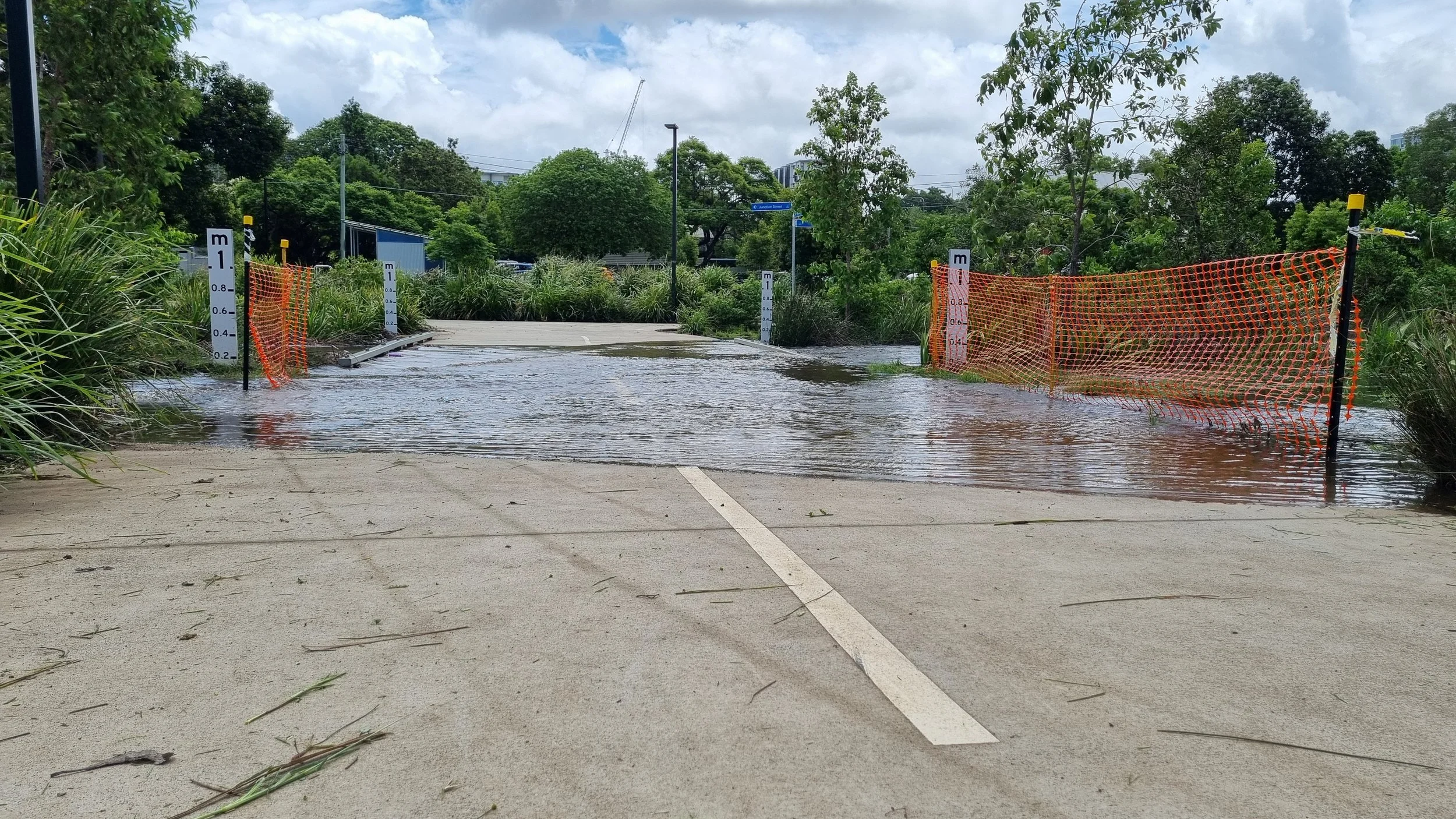
Properties flagged as containing overland flow, creek, river or coastal flooding require assessment against Council regulations. We are able to provide the following to help get you your builds through the Development Approval process:
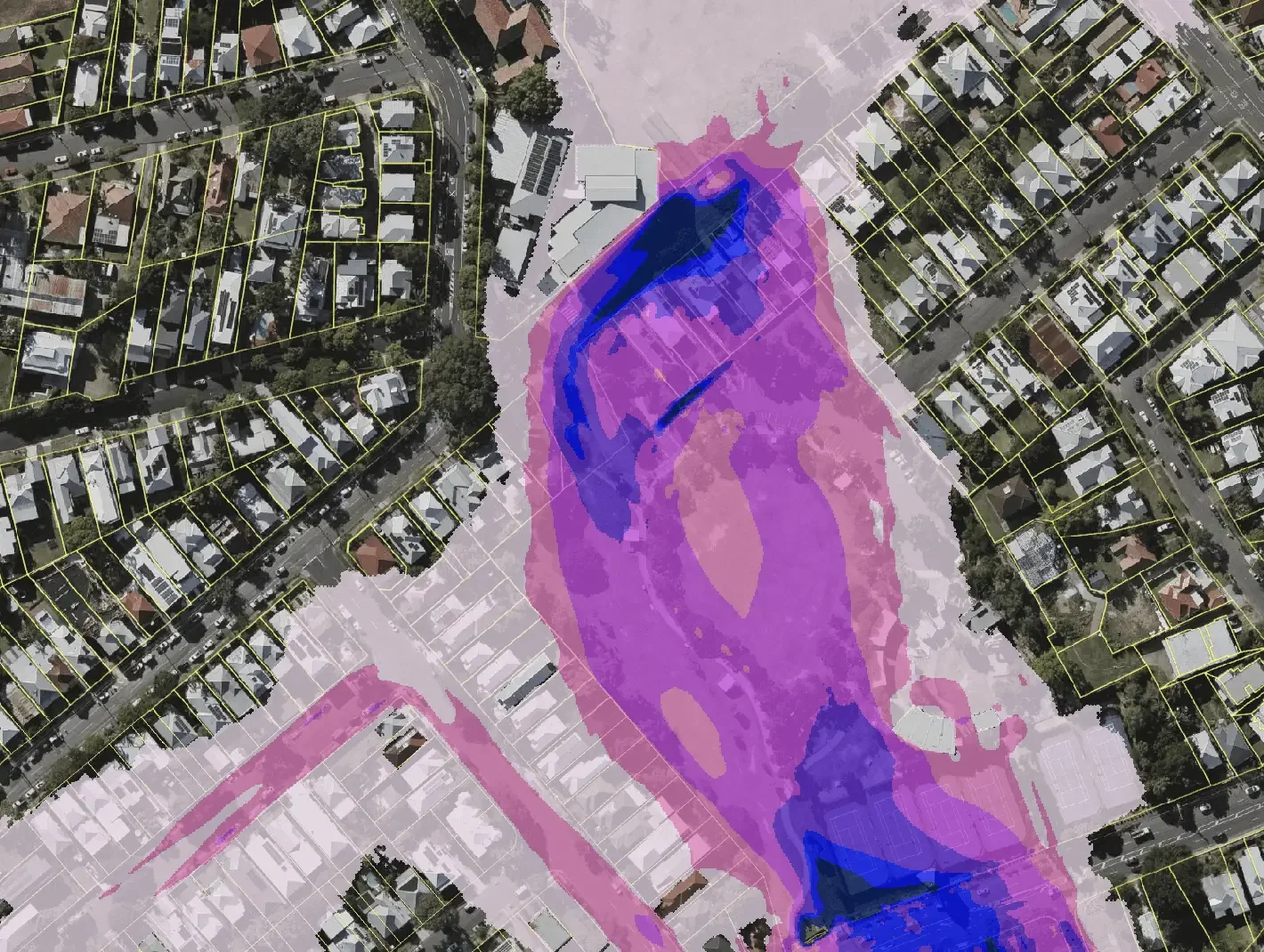
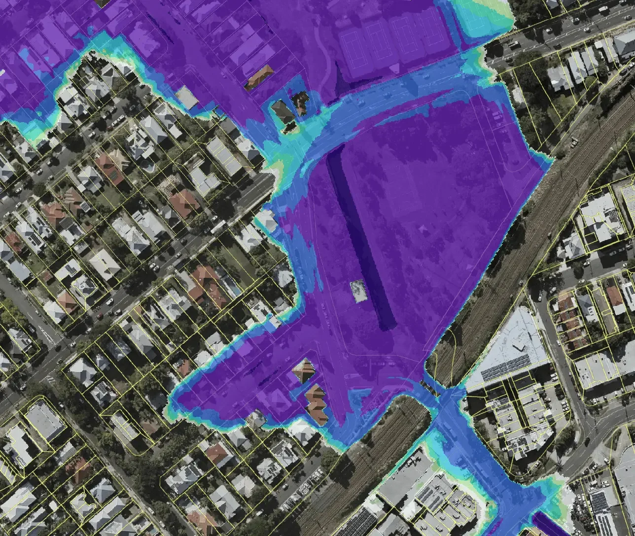
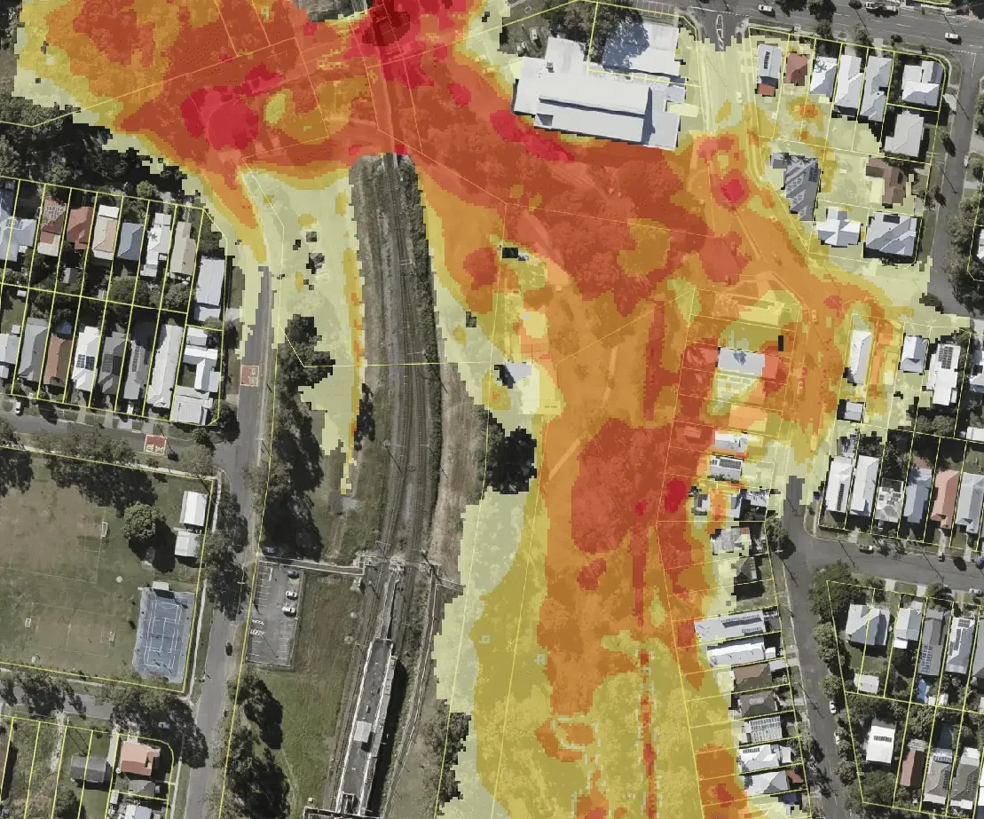
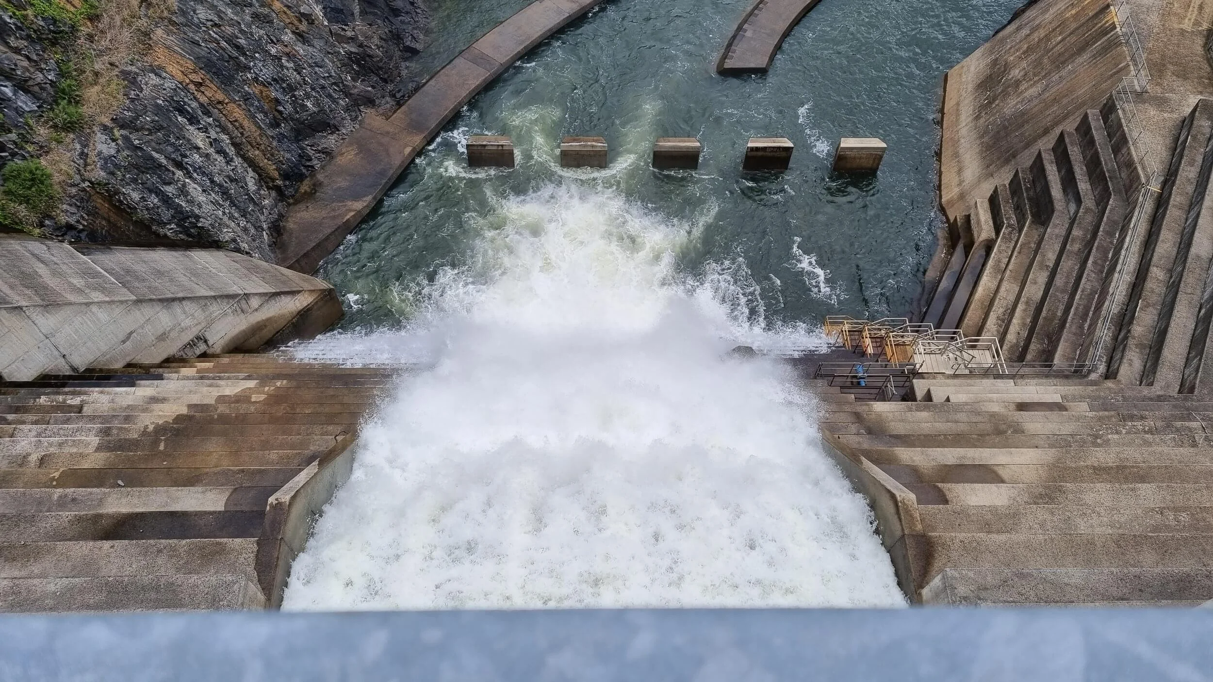
Flood impact assessment
Minimum design levels
Flood levels, depths, velocities and hazards
Compensatory earthworks
Flood storage volumes
Stormwater Management Plans
New developments can increase the amount and alter the characteristics of runoff generated from a property. We are able to provide the following to help get you your builds through the Development Approval process:
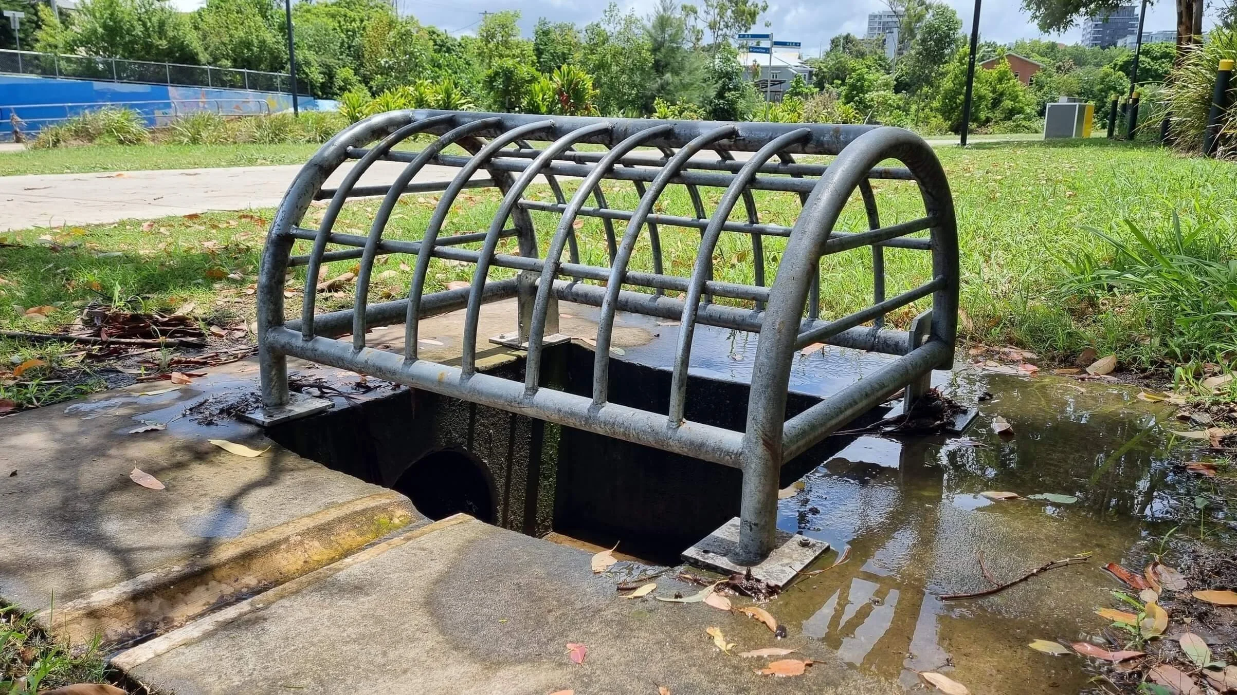
Lawful point(s) of discharge
Water quantity measures eg. On-site detention
Water quality measures eg. Proprietary devices
Stormwater collection, treatment and release strategy
Private Works Investigations
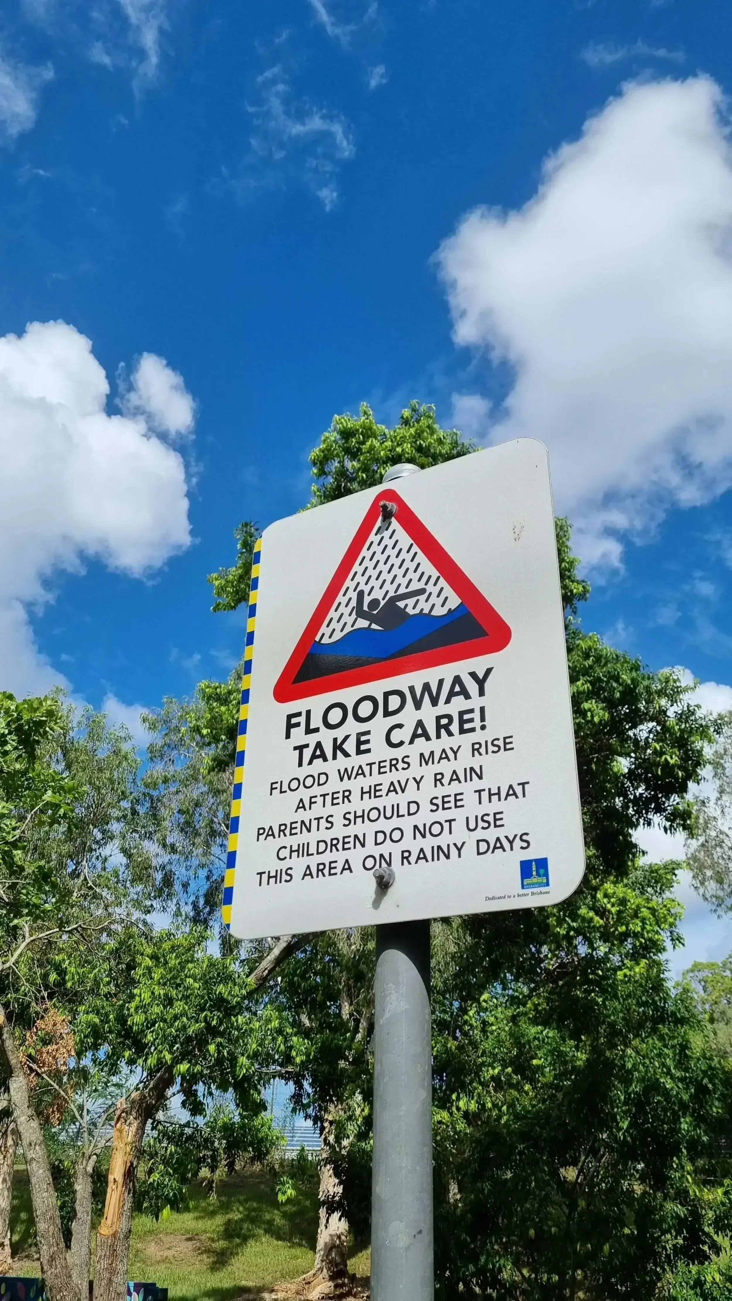
If you have experienced flooding on your property and are looking for measures to prevent such occurrences in the future, we are able to provide the following for temporary or permanent fixes:
Site-specific flood assessment and/or modelling
Analysis of probable flood levels, depths, velocities and hazards
Recommendation of stormwater devices
Recommendation of property alterations
Specialist Engineering Services
Depending on your project, our assessments may include specialist engineering services such as: